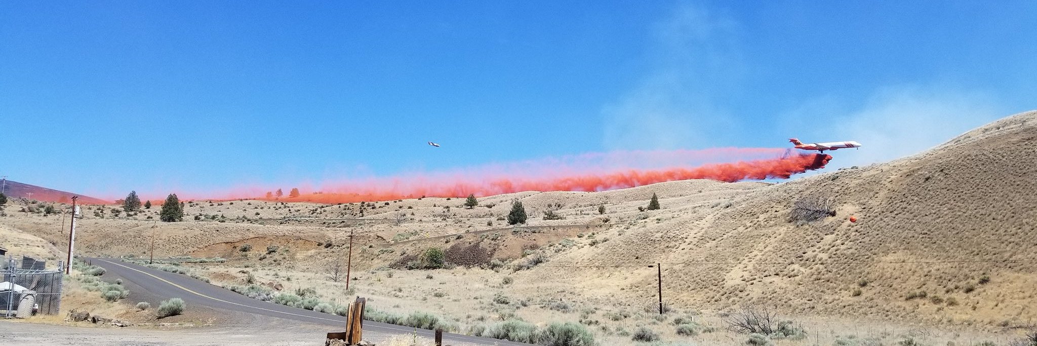
The Darlene Fire began at 1:30 p.m. this afternoon approximately 2 miles southeast of La Pine, Oregon on BLM managed land near Darlene Way. The fire grew to 600 acres by 6:30 p.m. this evening.
The fire threatened homes and structures in the area and the Deschutes County Sheriff’s Department established Type 3 “GO” and Type 2 “Get Ready” evacuation zones for the fire. The most current evacuation zones can be found on a map on the Deschutes County’s website at this link: https://bit.ly/3eeTRx1.
Initial attack resources were rapidly deployed to the fire when it began as well as several air tankers however, the fire in very dry fuels and the heat of the afternoon, exhibited extreme fire behavior resulting in its rapid growth. A Type 3 Team took over management of the fire around 3 p.m. in the afternoon. The Type 3 Team and firefighters even given the extreme fire behavior, were able to keep the fire east of Darlene Way, west of major power lines, and north of State Highway 31 into the early evening.
A Type 2 Incident Management Team (IMT) will take over managing the fire tomorrow evening, which will allow the Type 3 Team to be available for any potential emerging incidents.
A Red Flag Warning for gusty winds and low relative humidity has been issued by the National Weather Service beginning tomorrow at noon and lasting through Thursday at 11 p.m. The Red Flag Warning is significant because it indicates the potential for new fire starts and for the spread of existing fires.
The public is reminded that full Public Use Restrictions are in effect for the Deschutes and Ochoco National Forests, Crooked River National Grassland, and Prineville District of the BLM. For more information about these restrictions, the public can review the press release at this link: https://bit.ly/2UE0MZz .


