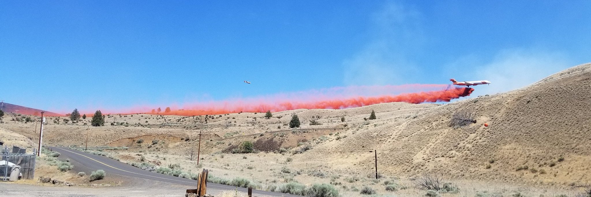
Weather and Fire Behavior: Unseasonably sunny and dry conditions with light winds are expected over the fire area today bringing temperatures in the upper 70’s and lower 80’s. A strong inversion over the fire area is expected for the next few days. Smoke trickling in from Northern California wildfires will impact Western Oregon and could lower visibility and decrease air quality. Humidity levels will remain low, around 28% in the valleys and 18% in the mountains. Significant growth of the fire is not anticipated but creeping and smoldering fire activity is expected within the fire perimeter. Isolated pockets of smoke may be observed in the burn area.
Yesterday: Mop up operations have yielded success in securing the area around structures in the Highway 22 corridor and in the North Fork/Elkhorn area. Contingency lines were strengthened and patrolled along the entire southern edge of the fire. In the Abiqua basin east of the burn area, heavy equipment continued to operate along fire impacted roads. Engines and hand crews worked together to seek out and eliminate remaining ground heat.
Today’s Activities: This will be the last shift for Canadian firefighters, who have been essential to the firefighting effort. Fire crews will resume patrolling and mop up work to secure the area around structures near the south end of the fire perimeter and the Highway 22 corridor/Elkhorn area. Heavy equipment, engines and hand crews will be operating along fire impacted roads. Hand-lines are being reinforced where needed, snags are being dropped for safety, and slash along the roads is being chipped or removed. Where appropriate, fire line repair will begin. The goal of repair is to mitigate long-term impacts of fire suppression on the landscape such as erosion. The fire perimeters on Riverside and Beachie Creek Fires total approximately 800 miles in length. This is a comparable driving distance between Portland, Oregon and Salt Lake City, Utah.
Various fall hunting seasons are beginning across western Oregon. Hunters are reminded to “know before you go” and to check Forest Service websites for closure information and Oregon Department of Fish and Wildlife (ODFW) webpages for hunting specific regulations. Despite recent rains and cooler temperatures, fire season and regulated-use closure are still in effect for lands protected by the Oregon Department of Forestry in Clackamas, Marion, and Linn counties. Backyard burning is prohibited during fire season; other restrictions for outdoor activities can be found at https://gisapps.odf.oregon.gov/firerestrictions/PFR.html.
Evacuations: Current evacuation information for Clackamas County is available at www.clackamas.us/wildfires, twitter.com/ClackCoSheriffor by calling 503-655-8224. Current evacuation information for Marion County is available at https://www.co.marion.or.us/Alerts?AlertId=83or by calling 503-588-5032. Current evacuation information for Linn County is available at https://www.linnsheriff.org/fire_live_updates_sept_2020/or by calling 541-812-2260.
Smoke info: Oregon Smoke Blog: oregonsmoke.blogspot.com
Willamette Valley Smoke outlook: https://wildlandfiresmoke.net/outlooks/
Closures: Willamette National Forest: https://www.fs.usda.gov/Internet/FSE_DOCUMENTS/fseprd811298.pdf
Bureau of Land Management: www.blm.gov/sites/blm.gov/files/orwa-fpo-nwo-092220.pdf
State managed lands: https://www.oregon.gov/odf/Fire/Pages/default.aspx
ADDITIONAL FIRE INFORMATION:
Fire Information: 541-583-0526
Road Closures on TripCheck: www.tripcheck.com/ Inciweb: inciweb.nwcg.gov/incident/7174/


